Bruntál - water reservoir Slezská Harta - Razová - Bílčice - Moravský Beroun + Back train
As he suggests, the route will take you to the Slezská Harta dam and further, to the region where the Jesenická hills end and the plains of the Haná lowland slowly begin. The trip is more demanding remotely and overcomes significant terrain unevenness. Suitable as a day trip for recreational cyclists.

Information for visitors
Interesting facts Bruntál - water reservoir Slezská Harta - Razová - Bílčice - Moravský Beroun + Back train
You will set off from the southern edge of the town of Bruntál along the cycle route No. 6162. The road leads together with the blue lane markings through the Bruntál Forest. At its end is a signpost, and supposedly a nice view of the village of Mezina.
From this place, continue along the same cycle route to the village of Dlouhá stráň. The whole Silesian Harta should be perfectly visible here. Continue along its shore with a slight climb to the village of Razová. You will not pass through the whole village, but only its lower edge, as the road turns more steeply again to the banks of the reservoir. Nearby attractions in the area are limestone areas and the natural monument Razovská tufity. Both attractions are guided by local nature trails.
The road winds around various bays and peninsulas to the village of Leskovec nad Moravicí. There is a larger boat dock in this place. Here you will connect to the cycle route No. 503 and continue on your way around the reservoir. At the entrance to the wooded area, take the cycle path with the number 6142. This later continues directly along the dikes of the waterworks.
Continue along the same cycle route to the village of Bílčice, here join route no. 6152 and continue in the direction of the village of Křišťanovice. The road to Křišťanovice is quiet, leading through undulating terrain, especially fields and meadows. You will cover about seven kilometers after it. In the village there are monuments of local importance - such as a monument, church and historic wall. Right at the beginning, however, turn to the village of Nové Valteřice and carefully watch the direction of the cycle route No. 6152. In front of the village, it turns sharply to the left.
Here you can look forward to a dilapidated church and a small hunting lodge. The ascent in the surroundings is steeper and more demanding, the destination - Moravský Beroun is already quite close. The path takes place in a forest environment and alternates with mountain meadows. A close sign of the destination is a small recreational reservoir Důlní potok about two kilometers from the city center.
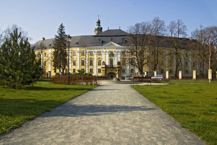
After arriving beyond its borders, find your way around Opavská Street, which leads directly to 9 May Square. In Beroun, the local Křížový vrch is worth seeing. At its top you will find the ruins of a castle, the Stations of the Cross with several stops, a church and the remains of a park in the Renaissance style - stone elements, statues, gazebos. Everything is clearly marked, the Křížový and Kočičí vrch nature trail begins here.
To return to the starting point of the journey, use the train connection departing from the local train station.
Author: Martina Zapletalová