Svitavy - Lačnov– Nový Rybník - Česká Třebová + back train
A long-distance trip through the countryside to the border between Bohemia and Moravia. Its course will take you especially through a quiet forest with deciduous vegetation.
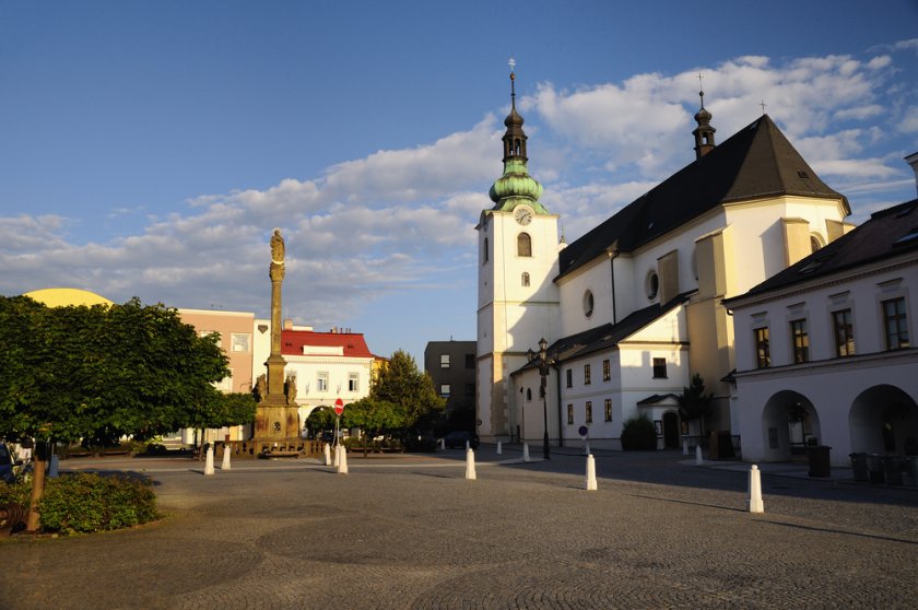

Information for visitors
Interesting facts Svitavy - Lačnov– Nový Rybník - Česká Třebová + back train
Get out of the northern part of the town of Svitavy along the cycle route No. 4033. The route copies the main road and in nearby Lačnov it connects to it for a moment. This section is flat so you can go through it quickly. You can refresh and make a short stop in the village of Opatovec by the pond Pařez or Sychrovec. You will continue to follow the same cycling route. It will take you from the inhabited area to the vast forest in a moment. In it, your path will not lose the character of a plane.
It is necessary to follow the cycle route carefully, especially at the two crossings - the "Opatovský les" crossroads (turn right) and another already nameless crossroads (go straight). After a kilometer after the second crossroads, you will enter the Králova Zahrada Nature Reserve. You will appreciate its beauty especially in spring, thanks to the flowering carpet of snowflakes. In addition to them, there are also various species of birds, frogs and protected plants.
Upon arrival at the next stop to the settlement Nový rybník, with the pond Mušlov, the more tired of you can use the train station Semanín. The rest of you continue along the same bike path to the village of the same name. In the village, leave it and turn onto the cycle route No. 4219. Among other things, it will take you over a historic stone bridge. Behind the village, a steeper ascent of about 2 kilometers awaits you. The reward for this obstacle will be a descent of the same length on the other side of the hill.
After it, turn right onto the cycle path marked 4047. It leads to the village of Kozlov. Lovers of views will find something to it (Kozlovský kopec lookout tower on the red mark), and fans of the painter Max Švabinský can visit his museum. Those of you who still have enough strength can turn to the blue sign and around the prehistoric settlement of Křivolík and several springs to the crossroads of Uhrovy doly and then follow the green sign to the pilgrimage chapel of the Virgin Mary Help of Christians.
The rest of you go straight along the road and cycle route No. 4050 to the destination - Česká Třebová. The road descends pleasantly along a long alley. It will take you to the city to the park "sady Javorka" from here it is already close to the railway station (red sign).
Author: Martina Zapletalová