Lysa hora
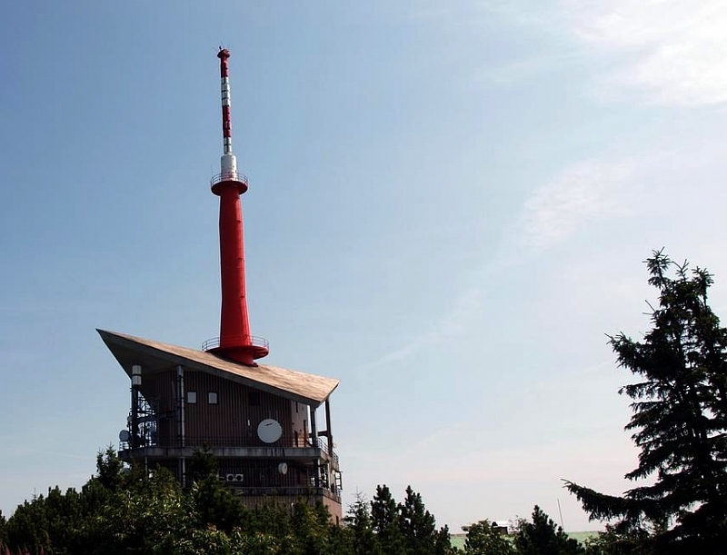
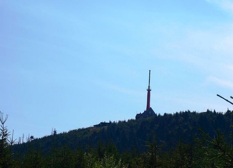
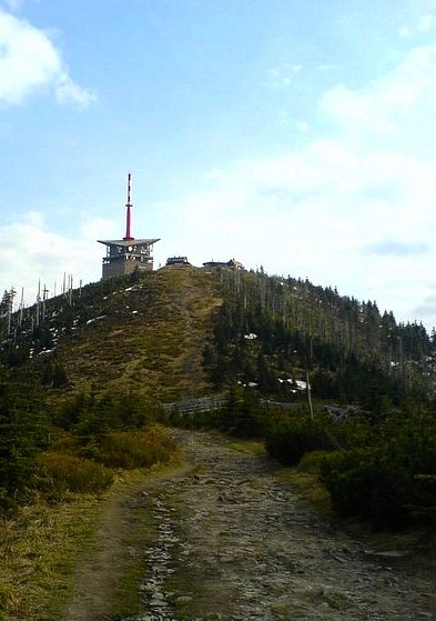
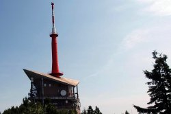
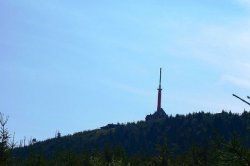
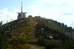
The top of the highest mountain in the Beskydy, Lysá hora, rises to a height of 1,323 m above sea level. and certainly not in vain, she is nicknamed the queen of all Silesian mountains. Within the Moravian-Silesian Beskydy, this is the highest peak. Its name is related to the unforested, ie bald, peak of the mountain, on which the characteristic building of a telecommunication transmitter, a meteorological station and several mountain huts is located.
Information for visitors
Interesting facts Lysa hora
Lysá hora is surrounded by the villages of Staré Hamry, Ostravice, Malenovice and Krásná. This place is first mentioned in an old document from 1261, which speaks of it as "Lissa huera". However, it began to gain importance only in connection with the boom in tourism during the 19th century and later thanks to the oldest tourist hike in Europe, the so-called Bezruč's outcrop, stretching from Ostravice to Lysá hora.
The view from the top of Lysá hora will captivate and reward anyone who decides to take a challenging hike, looking at the Beskydy, Jeseníky, Low and High Tatras or the Great Fatra. A number of hiking trails intersect on Lysá hora, and several marked paths of various levels of difficulty lead directly to the top, the most used being the route leading from Ostravice, which is approximately 8.5 km long. Directly on the hill is the Ski Lysá hora area, from where cross-country trails and ski slopes lead.
Near Lysá hora there is a nature reserve Malenovický kotel, Mazák, Vodopády Satiny or Ondrášovy díry with pseudo-karst caves.