Boží Dar moss
Visit the home of the round-leaved sundew, a carnivorous plant that is typical of peat bogs.


Information for visitors
Interesting facts Boží Dar moss
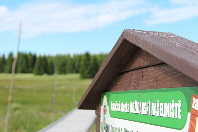
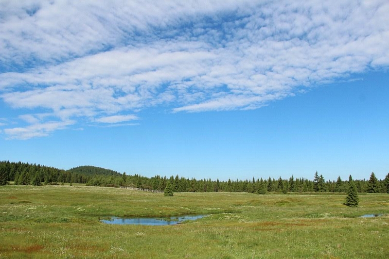
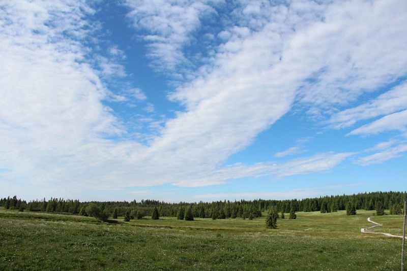
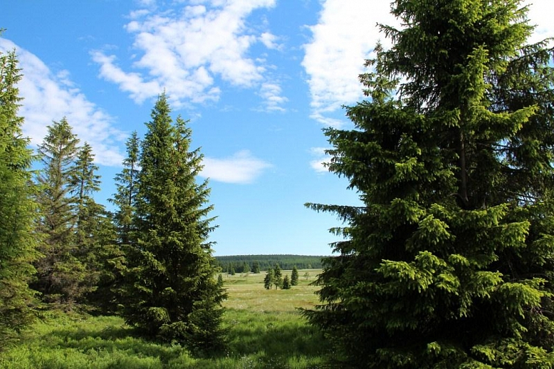
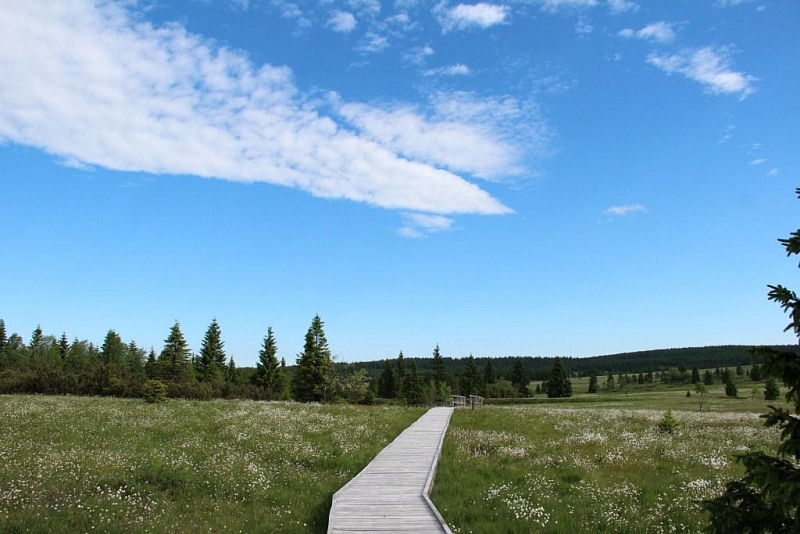
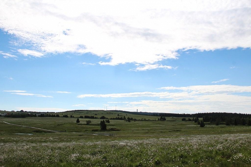
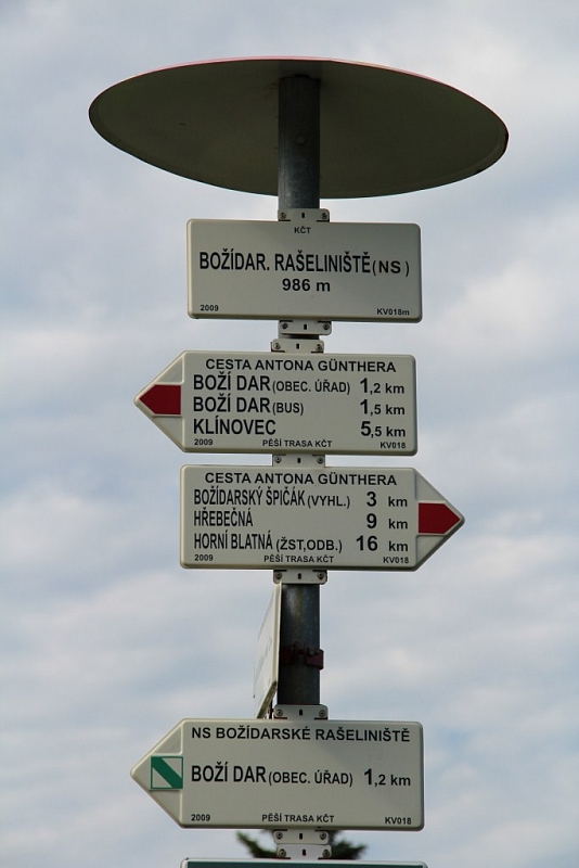
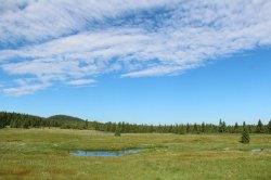
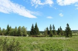
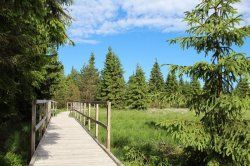
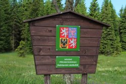
Božídarské peat bog lies at an altitude of 940 to 1115 m and covers an area of 929.5 ha. You can find it in the Ore Mountains, west of the town of Boží Dar. Peat mining took place here until the Second World War, and since 1965 it has been a protected national nature reserve. In 1977, an educational trail was created, which is 3.2 km long. There are twelve information boards on its route, which alert tourists to important places, animals or plants. Above all, a large complex of switchyards and slope peat bogs is protected here.
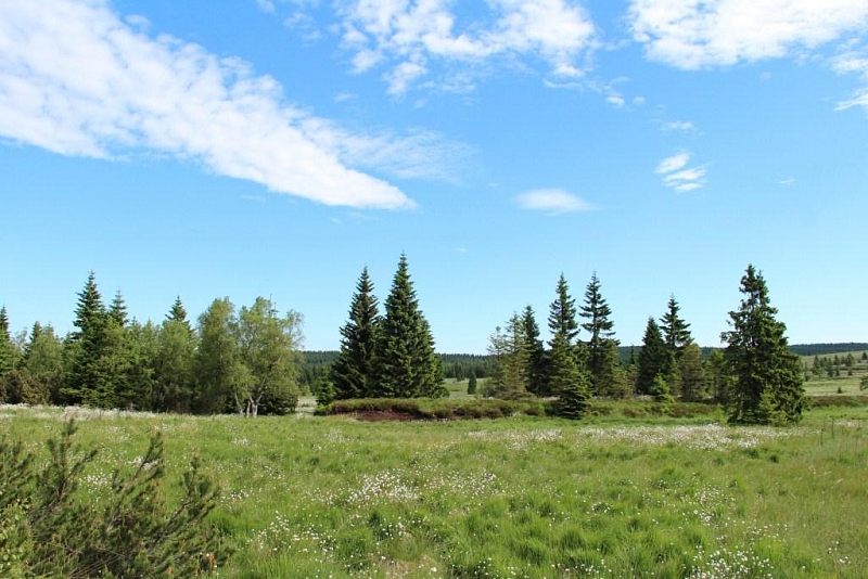
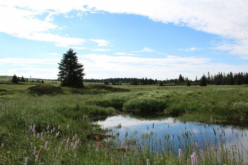
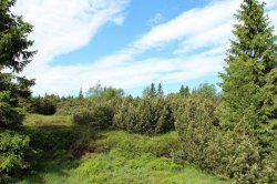
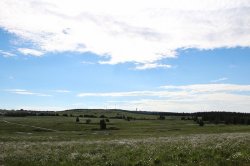
Peat bogs began to form in places of water springs, where lakes and swamps were formed. These were gradually overgrown with reeds, sedges and peat bogs. The peat bog is unique in that its lower part dies in the water in the absence of air and its upper part also grows by a few centimeters per year. In the next phase of peatland development, the peat bog was pushed out by shrubs such as heather, blueberry, cranberry. In the last phase, the area is overgrown with kneeling, which signals the end of peat formation.
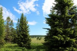
The local flora consists mainly of spruces, kneelers, Scots pine and dwarf birch. Several species of heather grow here in the mountain meadows, the dioecious caecan and the already mentioned round-leaved sundew. Of the animals, the protected black grouse, blackbird, lapwing and field rattlesnake live here. In the past, the capercaillie also lived here, but recently its occurrence has not been confirmed. On the contrary, you can very often come across the common viper and the viviparous lizard.
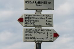
Several marked hiking and skiing and cycling trails lead through the reservation. The nature trail starts at the Boží Dar Infocentre, where the first information board is located. It mostly leads along attic sidewalks, which are safe for both tourists and nature. At the end of the trail, you can continue along the Blatenský příkop nature trail. This will take you to a medieval waterworks, built in 1540 by mining companies in order to drain surface water flowing from a peat bog. Along the stream there are so-called sejpy, ie piles of tailings left over from tin ore panning.
Author: Marie Bukovinská