Kokořín mine
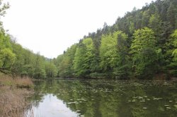
Take a trip to the Kokořín Mine, where you can see interesting rock formations and go on one of the many tourist marked trails.
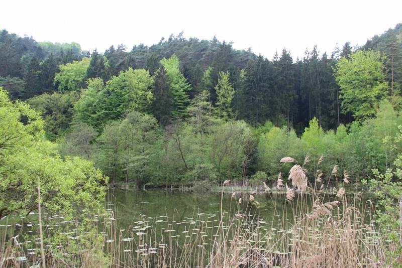
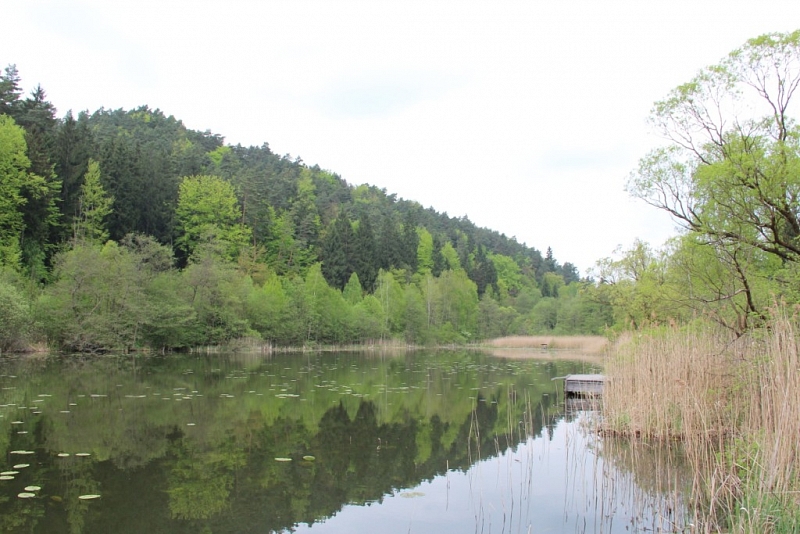
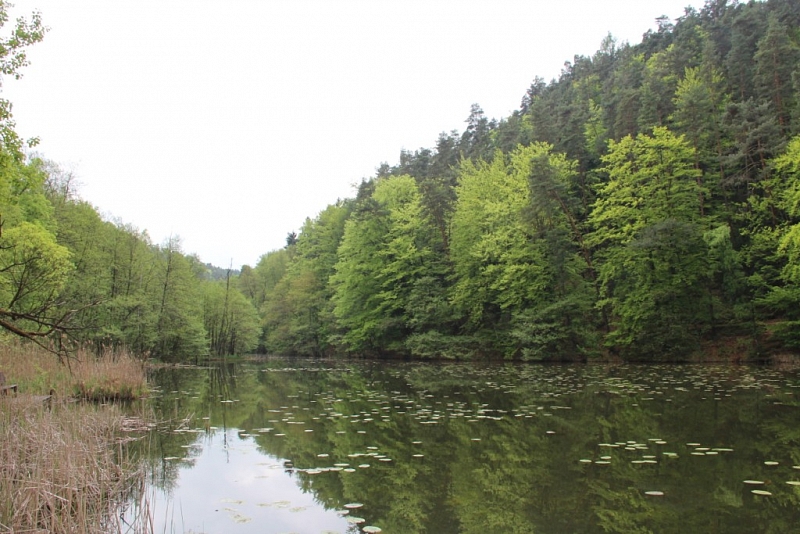
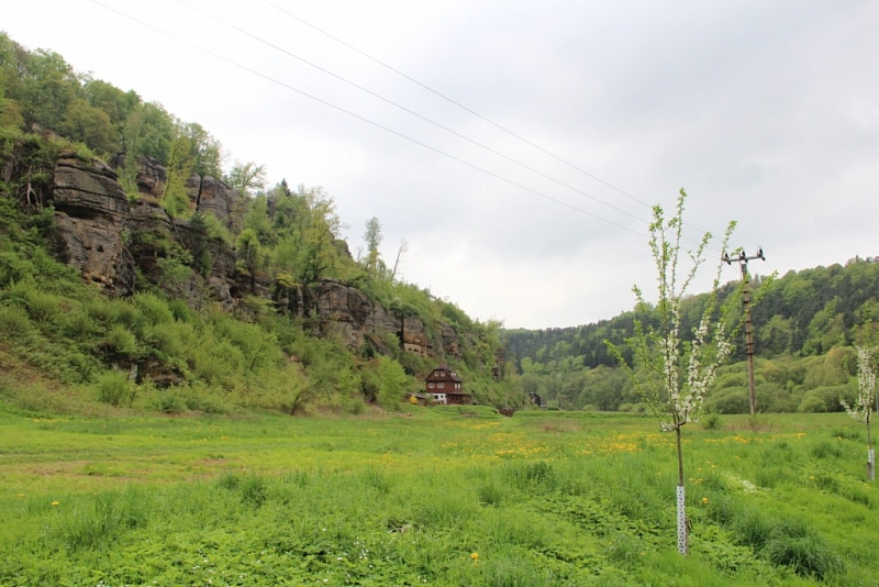
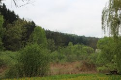
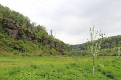
Kokořínský důl was declared a nature reserve in 1953. It covers an area of 20.97 km2 in the districts of Mělník and Česká Lípa. As the only place in Europe, the initial stages of the decay of blocky sandstones are best documented here. These rocks were at the bottom of the sea, which reached here at the end of the Mesozoic. After his retreat, they began to weather due to geomorphological factors, creating interesting shapes such as lids, honeycombs, rock windows, gates, cornices and niches. The reservation also includes wetlands along the Pšovka stream. These wetlands are among the internationally important territories of the Ramsar Convention.

Information for visitors
Interesting facts Kokořín mine
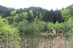
The highest point is Mount Vlhošť, rising to a height of 614 m. The lowest is the Liběchovka river near Želiz, with only 175 m above sea level. Many rare species of plants and animals live here, some of which are listed in the Red Book of Endangered Species.
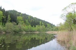
Not only the red marked Macha Road, but also the blue or yellow tourist sign will take you through the entire Kokořínský dol. There are several different circuits, trails and cycle paths here.